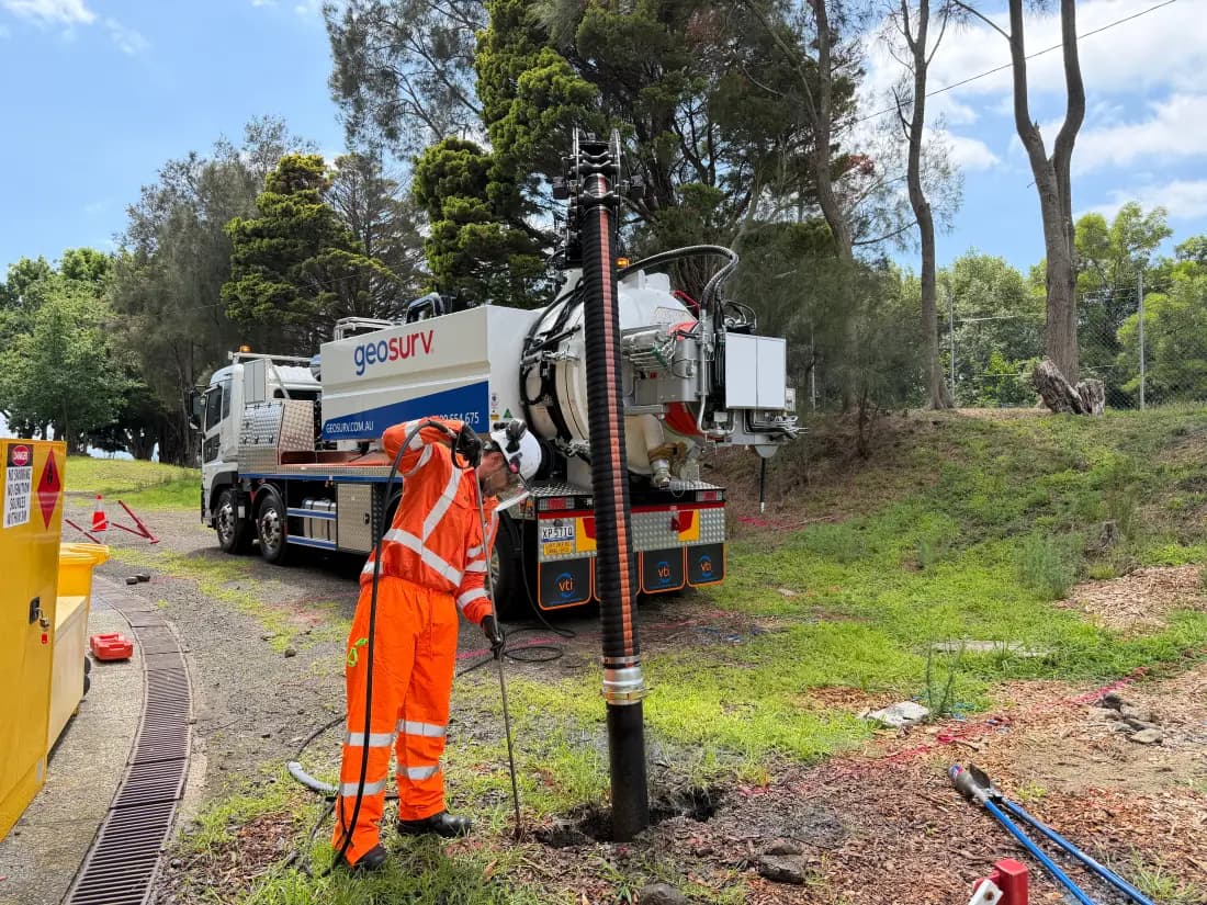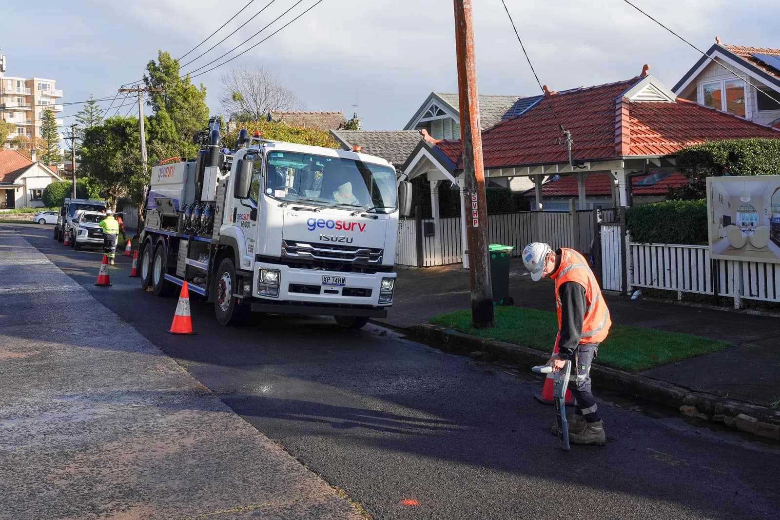
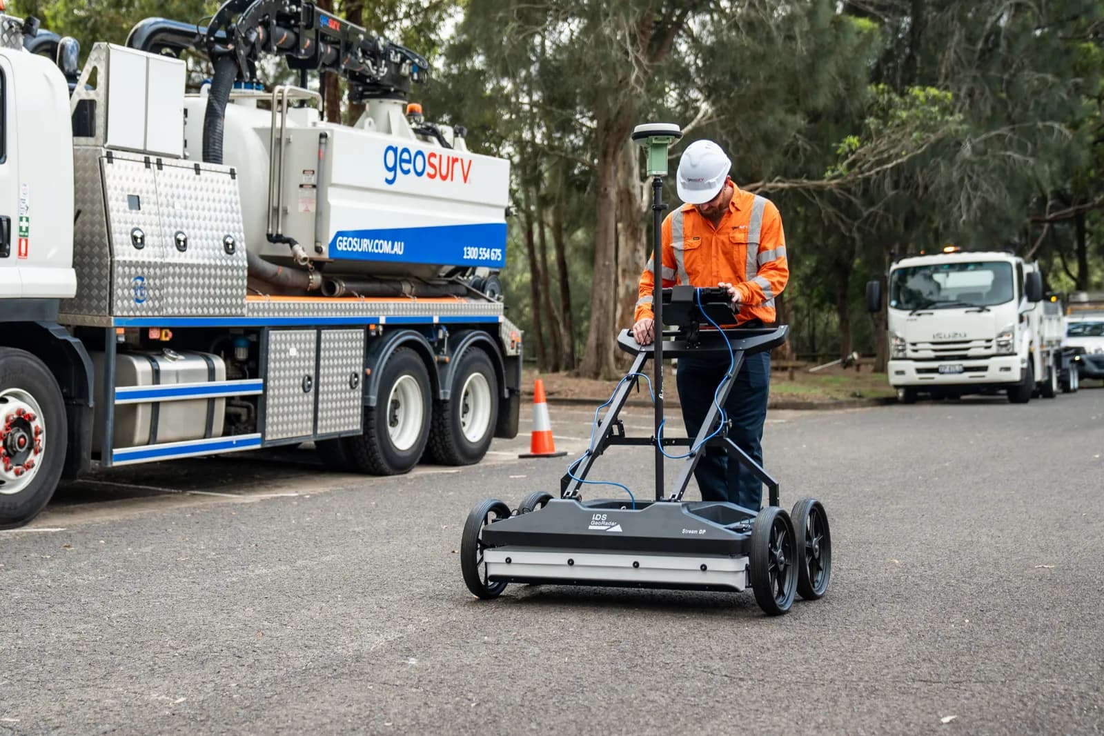
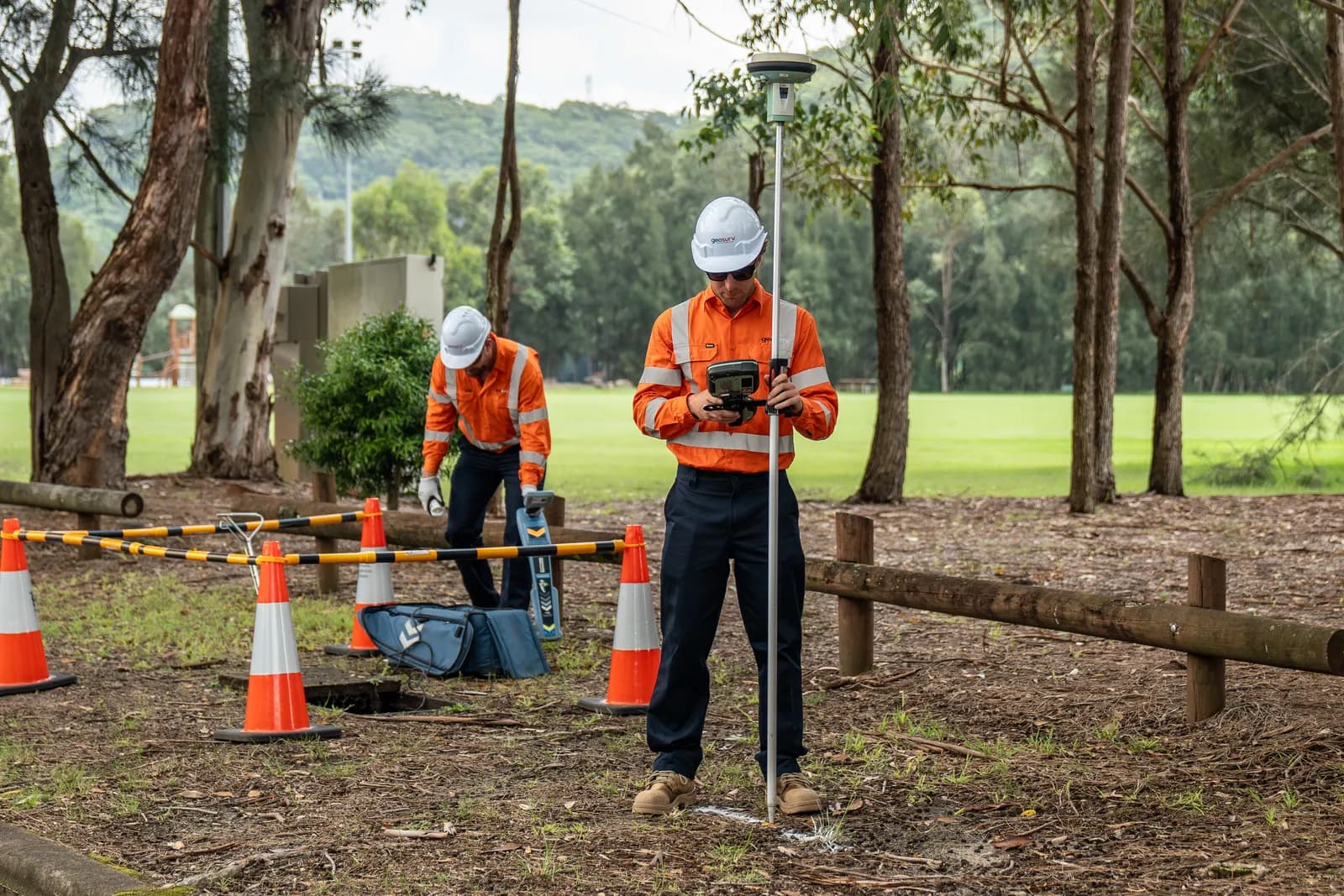
Electromagnetic Frequency Locating (EMF)
Electromagnetic locating of conductive underground utilities.
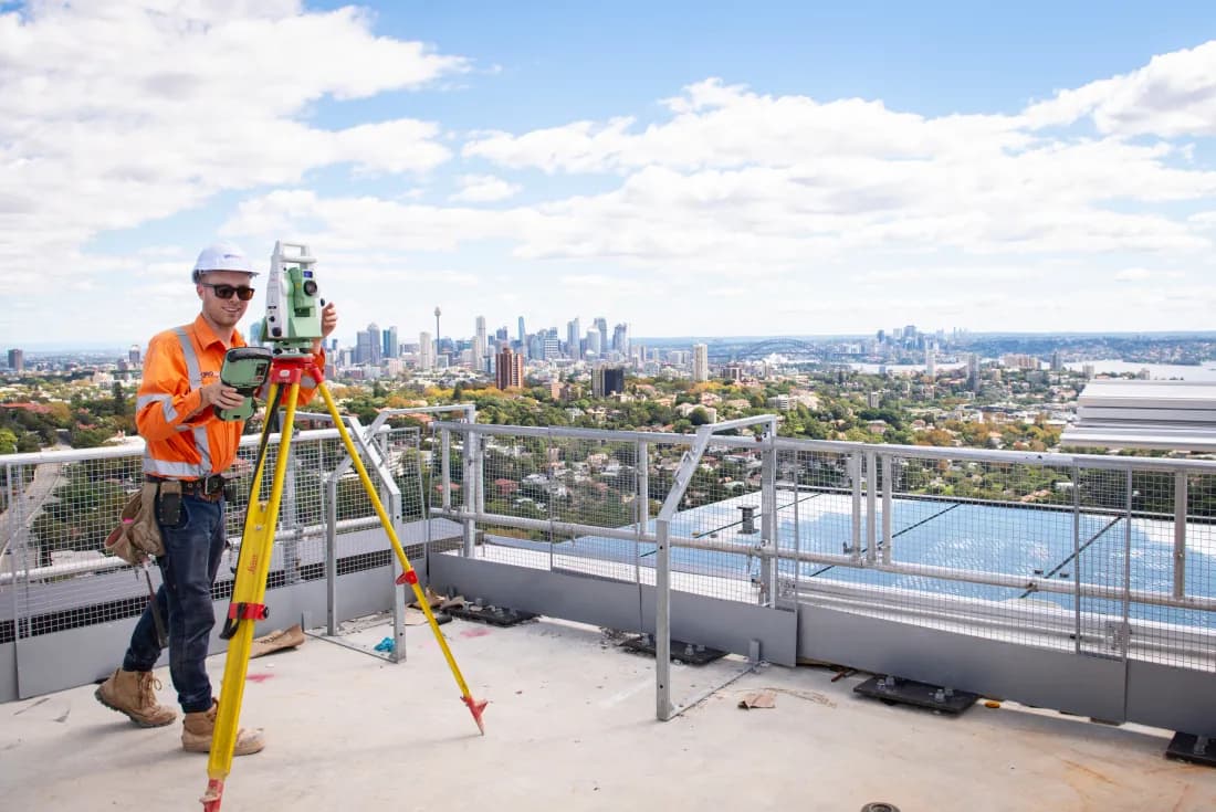
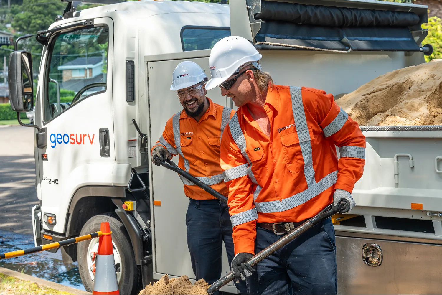
Utility Locating, NSW & ACT
Accurately identify and map underground utilities with advanced locating technology, experienced technicians and integrated underground services.
Accredited


Integrated utility locating, mapping and investigation services to identify underground assets and meet AS 5488 Compliance.
QL-A locator-signed
AS 5488 QL-A reports signed off by an accredited utility locator — the deliverable Sydney Water, Ausgrid and TfNSW accept first pass.
Asset-owner approved
CertLoc + NATA + Tri-ISO. Optus approved locator, TfNSW Technical Services Scheme supplier. Every accreditation tier-1 procurement asks for.
Full toolkit
EML, GPR, deep sondes, confined-space-trained operators. Coverage proportional to risk.
Next-business-day reports
Same-day mobilisation on most NSW & ACT jobs. DWG, PDF or 3D model delivered the next business day after fieldwork completion.
Electromagnetic locating of conductive underground utilities.
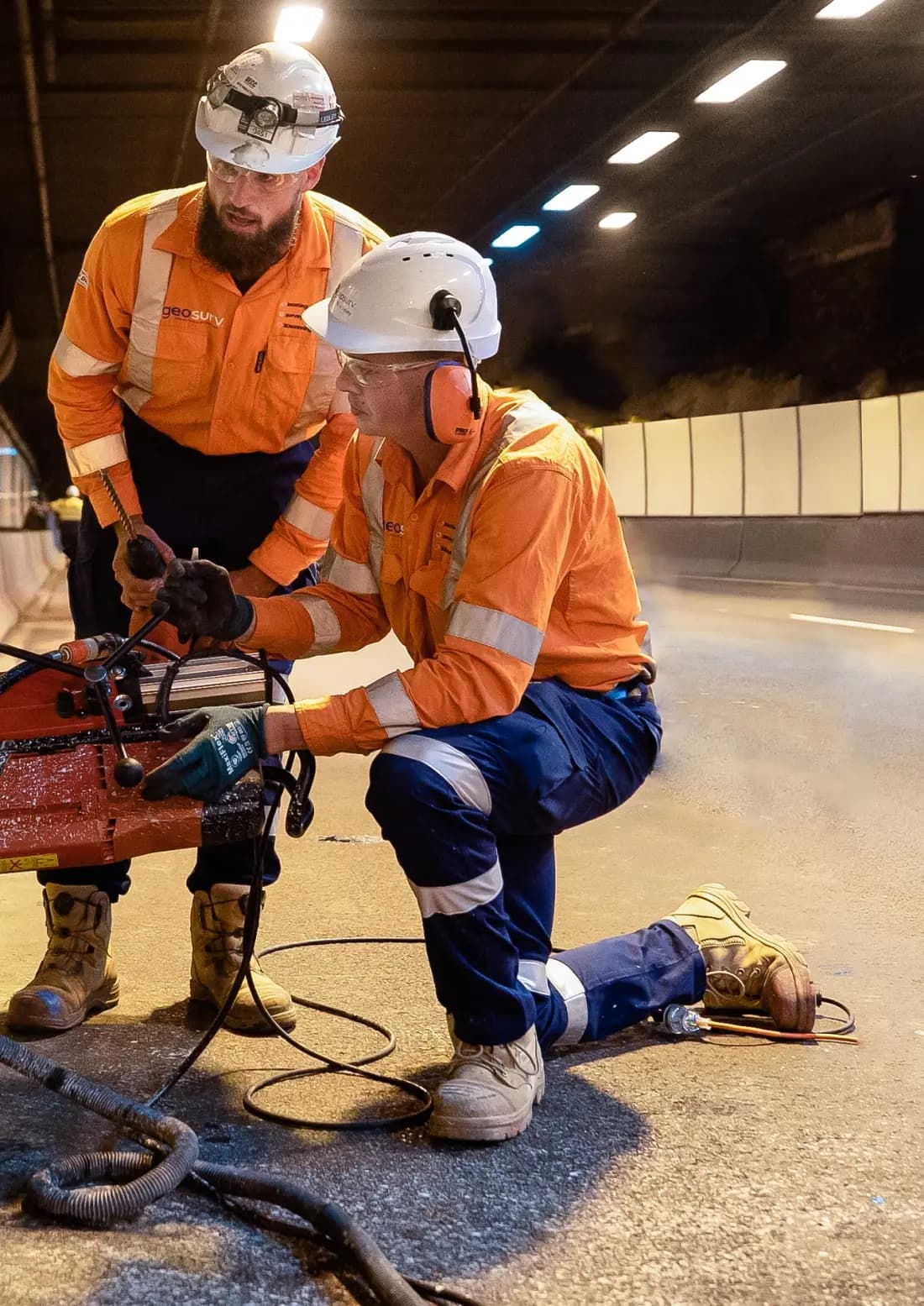
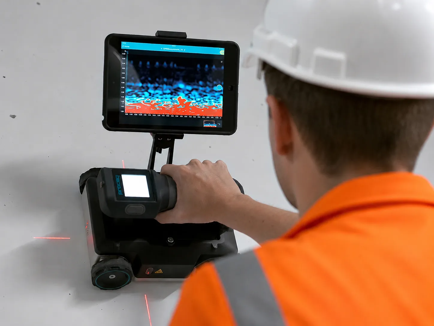
Non-invasive scanning of buried utilities and underground structures.
Comprehensive BYD searches and underground asset investigations.
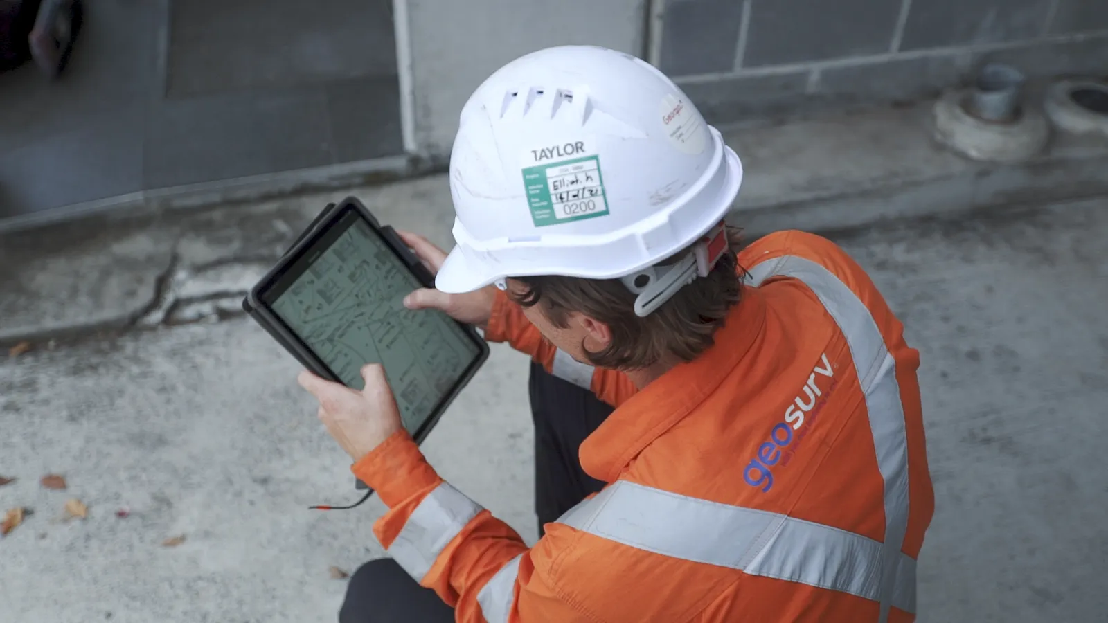
Accurate surveying and investigation of underground utility networks.
Detailed mapping of underground assets and service networks.
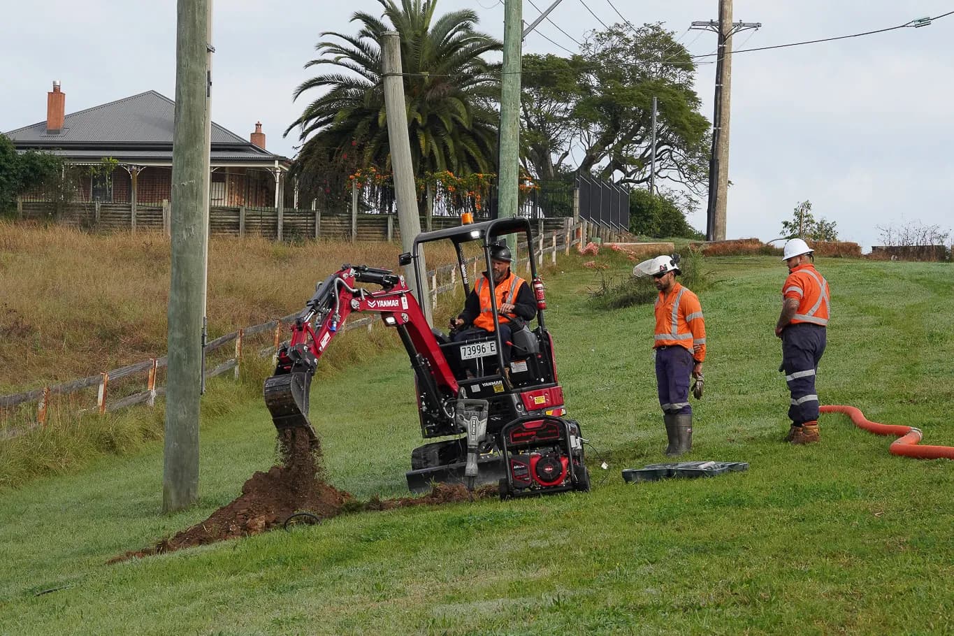
Permit preparation and underground asset risk assessments.
Locating reinforcement, post tension cables and embedded services.
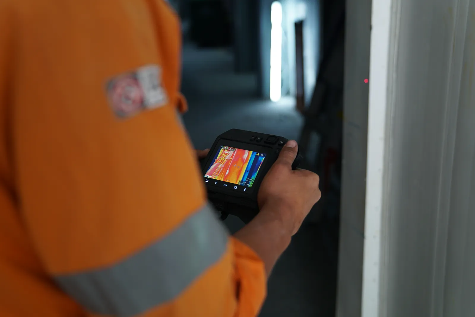
Thermal imaging for asset inspections and fault identification.
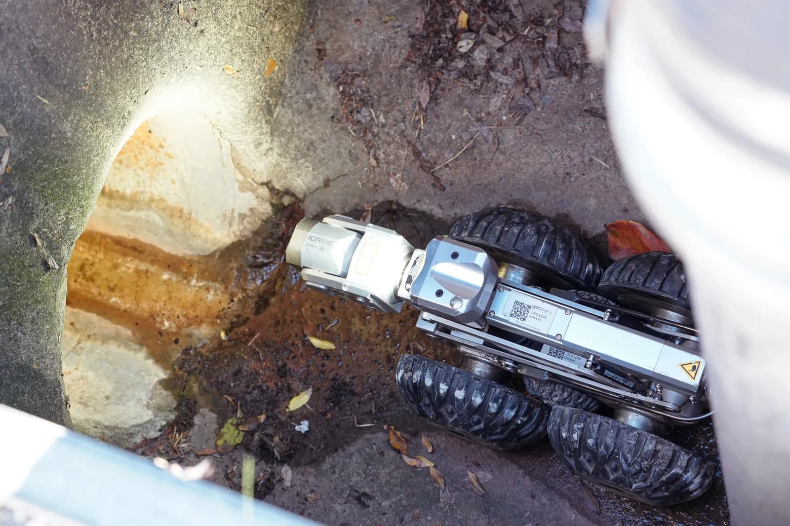
CCTV inspections and condition assessments of underground pipelines.
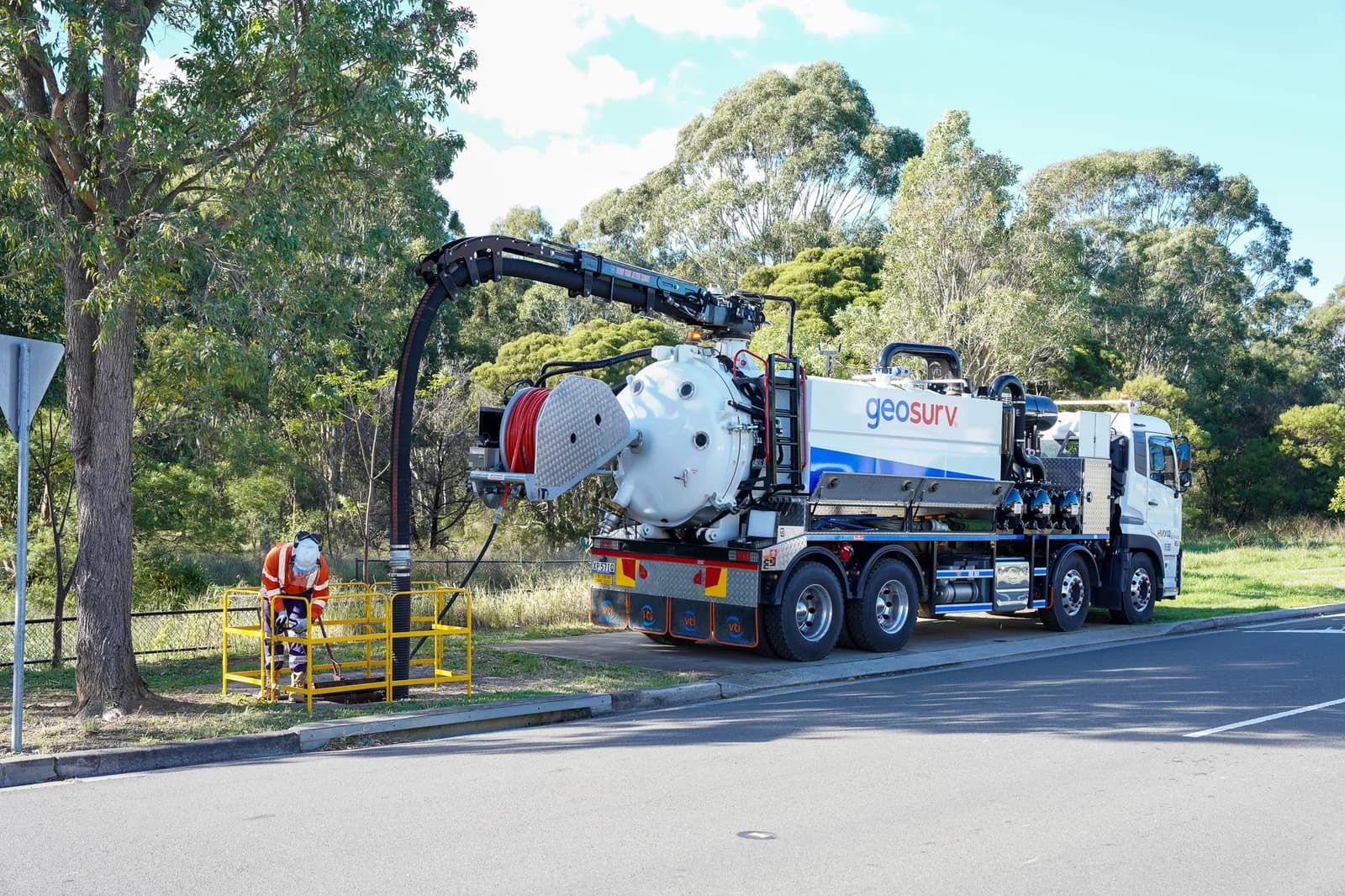
High-pressure jetting to clear blockages, roots and debris.
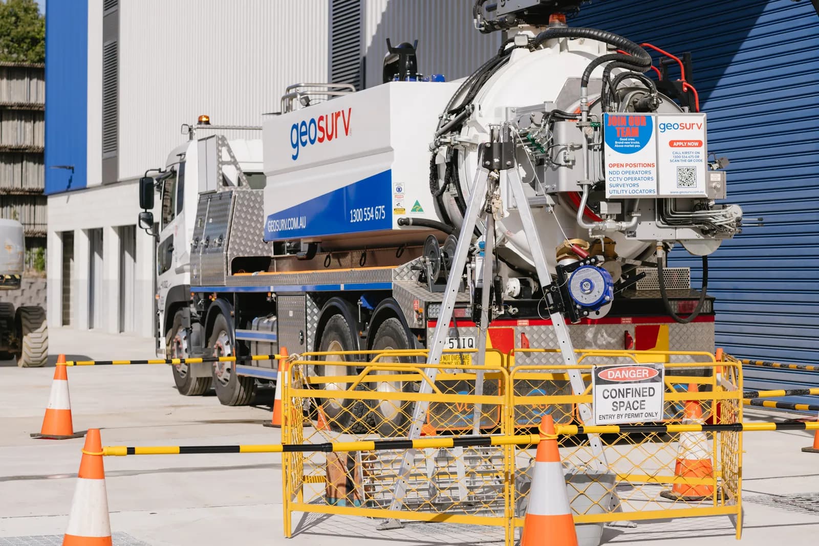
Rescue and standby services for confined space operations.
Valued Clients
Accreditations


About Geosurv
Geosurv is a 110-strong specialist crew operating across NSW & ACT since 2003. We deliver compliance-grade subsurface data — locating, NDD, surveying and CCTV — under a single ISO management system. Locating is run by CertLoc-licensed operators, signed off by accredited utility locators, and reported to AS 5488 QL-A as standard.
Years on Sydney sites
Subsurface utility work across NSW & ACT since 2003.
Specialists on the team
In-house engineers, surveyors, locators, technicians, and operators crews ready to service your project.
Projects delivered
From single-site locates to multi-year tier-1 design programmes.
Previous Projects

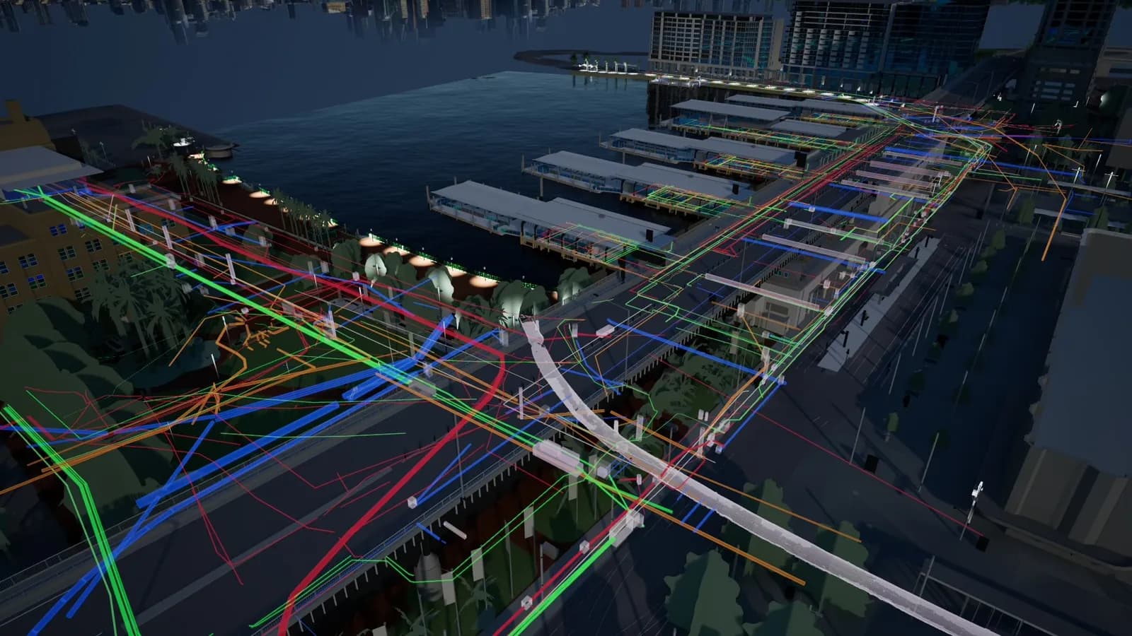
Engaged to prepare a full coordinated utility locate and 3D model for the TSE (Tunnel & Station Excavation) package — the subsurface dataset every downstream design package built off.

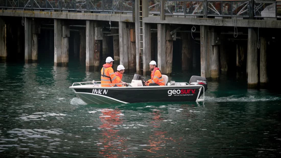
Full digital-twin survey of the entire precinct paired with a comprehensive utility investigation across the Circular Quay footprint — the kind of dense, heritage-asset environment QL-A locating is built for.

Detailed utility investigation and detail feature survey of the proposed 16km HV feeder route upgrade serving the data centre — a continuous subsurface dataset across a 16km easement.

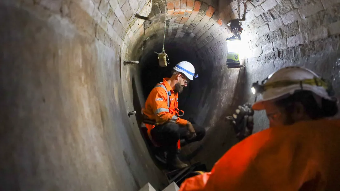
Utility investigation of the large natural rock sewer beneath the development. Geosurv collected the dataset by confined-space access and 3D laser scanning — the locating problem nobody else would touch.

Detailed utility investigation and detail feature survey of the proposed 1.1km watermain upgrade serving the data centre — a continuous QL-A dataset across the easement before any earthworks.

QL-B utility locate across the intersection footprint, paired with comprehensive NDD verification of every critical crossing — the dataset NSW Public Works built the upgrade design off.
All services
Whether it's a single job or a multi-year programme, our team will get you a quote and an experienced specialist on the line today.